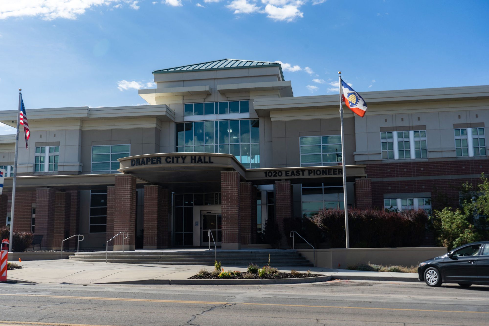
Draper officials are telling residents to get their properties ready for a winter shaped by El Niño.
The city posted an advisory on Thursday, Nov. 5 citing "the uncertainty surrounding the potential impacts of El Niño and the possibility of changing weather patterns and increased precipitation." The post encouraged homeowners to "take preventative steps to protect their homes and properties."
Federal precipitation outlook for the region
El Niño is driving national weather expectations this winter, but the picture for the Wasatch Front is less dramatic than for states farther south.
The National Oceanic and Atmospheric Administration's (NOAA) U.S. Winter Outlook, released Oct. 15, projected wetter-than-average conditions across the southern tier of the country for December 2026 through February 2027. Utah's Intermountain West, however, landed in the "equal chances" category. That means forecasters see no tilt toward wetter, drier or near-average precipitation for the region.
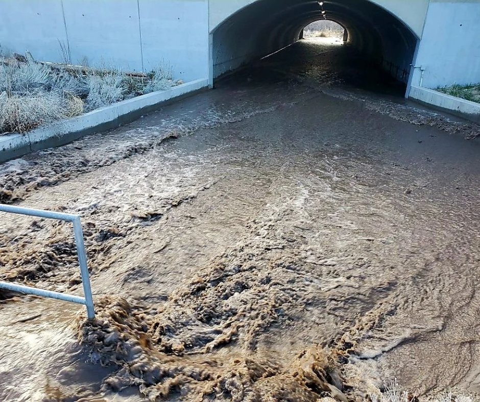
Even so, NOAA warned that El Niño's broader effects could still pose risks. "While higher chances of rain and snow may bring relief to drought-afflicted areas, too much precipitation on dry soil can fuel destructive flash floods and mudslides," said Ken Graham, director of NOAA's National Weather Service, in the Oct. 15 outlook. "Now is the time for communities and individuals to plan ahead for the upcoming winter."
Recent flooding adds context
Southern Utah has already dealt with serious flooding this fall. The Deseret News reported Oct. 30 that flood watches had been issued for most of southern Utah and parts of central and eastern Utah as an atmospheric river approached the state. Hurricane, in southwest Utah, declared a state of emergency over flash flooding on Oct. 22.
NOAA updates its three-month precipitation outlook monthly. The next update is scheduled for Nov. 19.