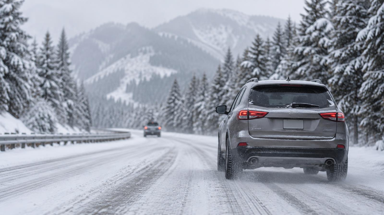
The National Weather Service in Salt Lake City issued a Winter Weather Advisory on Monday, Nov. 16, for the Wasatch Mountains and Wasatch Back.
The advisory runs from 11 a.m. Tuesday, Nov. 17, to 11 a.m. Wednesday, Nov. 18. Draper residents who commute through mountain passes should plan for slower travel.
The NWS forecast calls for 4 to 8 inches of snow above 8,000 feet in the Wasatch Mountains. The Upper Cottonwoods could see locally higher amounts exceeding 12 inches. The Wasatch Back, including Park City and the Ogden valley, is expected to receive 1 to 4 inches.
The agency warned that travel could be difficult at times along mountain routes. Parleys Summit is specifically flagged for hazardous conditions during the Tuesday evening and Wednesday morning commutes.
Precipitation on the Wasatch Back is expected to begin as rain before transitioning to snow Tuesday evening, according to the advisory.
The NWS Salt Lake City office also noted on X that the storm system has a chance of bringing accumulating snow to at least some northern Utah valleys. The formal advisory covers only mountain and Wasatch Back zones.
The Utah Department of Transportation posts winter road conditions at udottraffic.utah.gov. The NWS provides graphical snowfall forecasts at weather.gov/slc/winter.