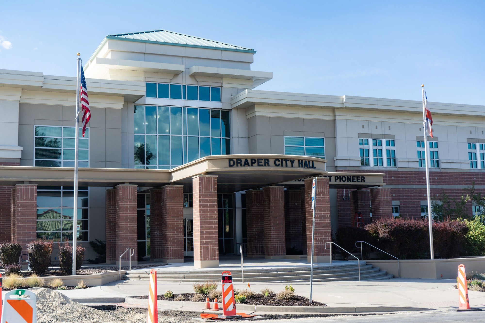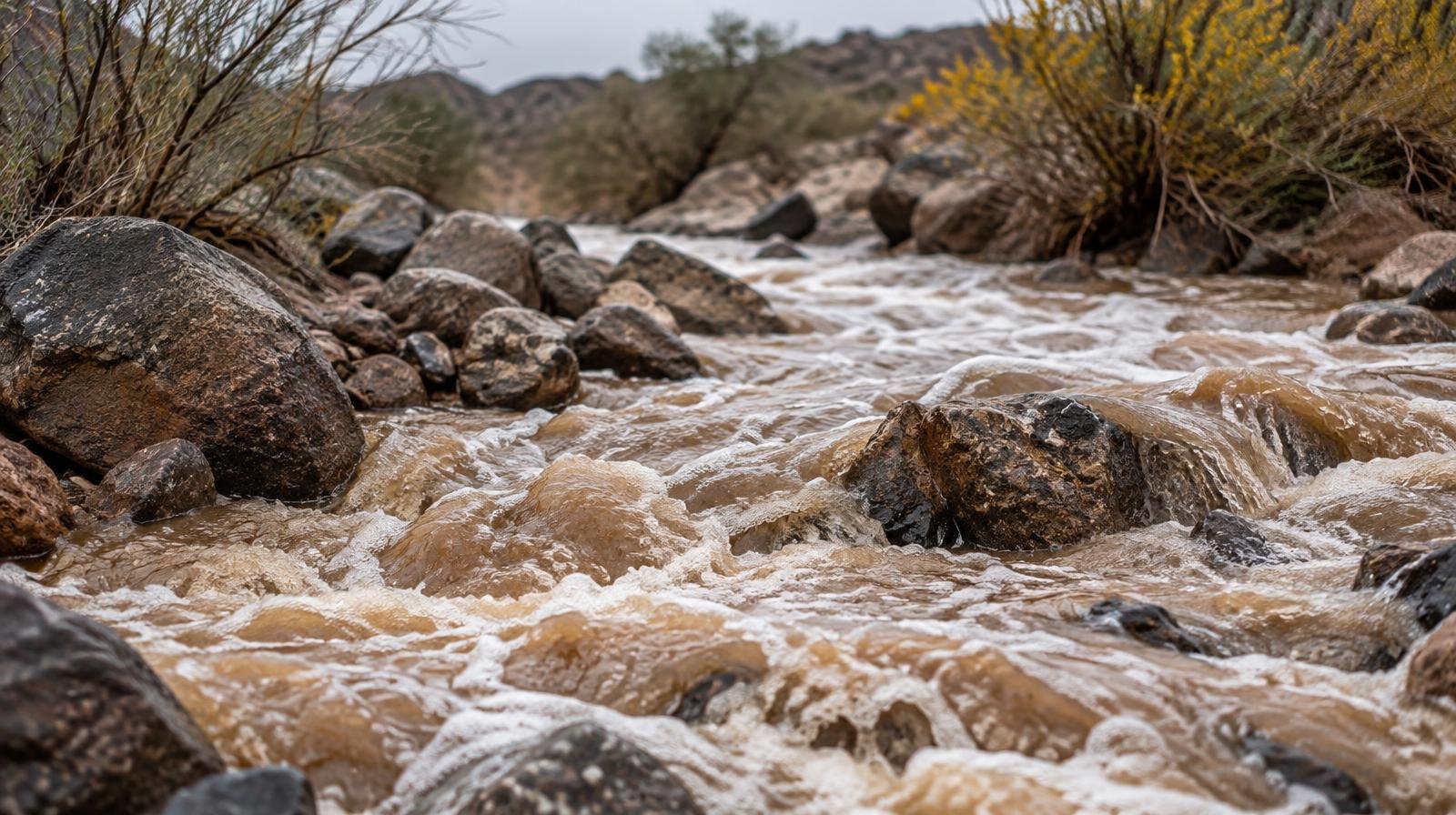
Heavy rain and thunderstorms are moving into the Draper area starting Wednesday, Oct. 21, carrying a marginal flash flood risk that extends into northern Utah on Thursday.
The storm is a cut-off low-pressure system tracking into Utah from the Pacific Northwest through California, according to ABC4 meteorologist Alana Brophy. It is separate from Tropical Storm Rachel, which soaked the state earlier in October.
The ground is already saturated. Utah's statewide mountain soil moisture hit 64.2% in mid-October, 5.1 percentage points above the previous 20-year record for the period, according to KSL. More rain on top of that wet ground raises the flood threat for Draper and the rest of the Wasatch Front.
The National Weather Service forecast for Draper calls for thunderstorms Wednesday night with a low of 52°F. Thursday's high should reach 73°F, with showers giving way to more thunderstorms Thursday night as the temperature drops to 47°F.
Friday looks cooler and breezy, with showers and a high of just 56°F. By Friday night, the low falls to 41°F.
Flood watches have been issued across southern and central Utah, taking effect as early as Wednesday morning and lasting through Thursday evening, KSL reported. The National Weather Service warned that 2 to 3 inches of localized rainfall could trigger flash flooding in rivers, creeks, dry washes and recent burn scars.
KSL meteorologist Matt Johnson said scattered showers are more likely to reach the Wasatch Front by Thursday night as the storm splits over Utah. Wasatch Front communities could collect up to an inch of rain or more by early Saturday, Oct. 24, with higher totals near 2 inches in the mountains, according to KSL weather models.
"We can't hang our hat on this, but it is giving us an indication of what's possible: 1 to 2 inches for a lot of locations," Johnson told KSL.
Statewide, rainfall totals are forecast to average between 0.50 and 2.00 inches, with the heaviest amounts in southeastern Utah. NWS Salt Lake City said southern Utah could see 1 to 3 inches, with a 10% chance of 3 to 5 inches across the Grand Staircase.
Snow levels are expected to drop from about 11,000 feet on Thursday to 8,000 feet on Friday, Johnson told KSL. Preliminary models estimate 3 to 6 inches of snow above 8,500 feet elevation, including in the Upper Cottonwoods.
The storm should clear the area by late Saturday, with highs settling into the 50s and low 60s across northern Utah. Residents can monitor conditions at weather.gov or by following NWS Salt Lake City alerts.