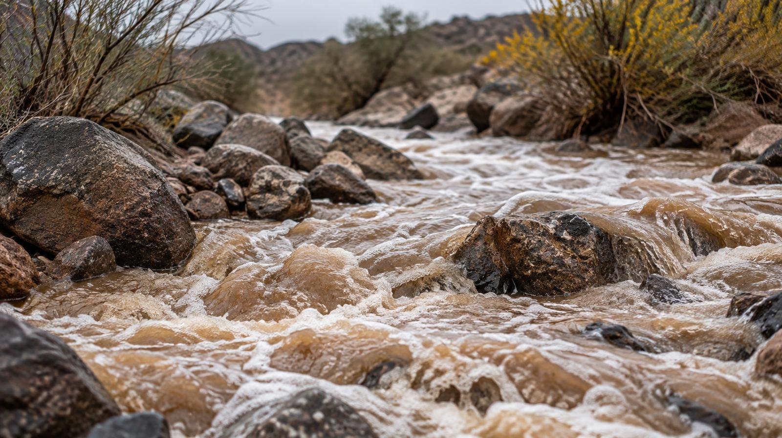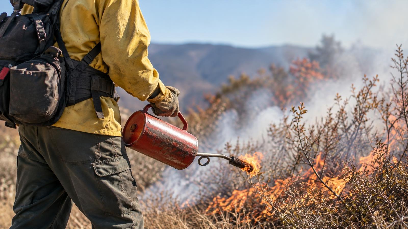
Smoke rising over Draper's Suncrest neighborhood Tuesday afternoon is from a planned controlled burn, not a wildfire.
The Utah Department of Natural Resources is conducting the prescribed burn in partnership with Draper Fire's wildland crews in the Suncrest area near Peak View and adjacent open space, Draper City announced on X. Operations are expected to continue until about 5:30 p.m. Tuesday, Oct. 20.
The city did not specify how many acres the burn covers or which trails or roads, if any, may be affected.
Suncrest sits in what fire agencies call the Wildland Urban Interface, or WUI, the zone where homes meet undeveloped land. The neighborhood's wildfire threat trends higher than the valley floor because of slope, vegetation and proximity to open space, according to Suncrest Lifestyle, a community website that tracks local fire-risk issues. Draper City has adopted the state's WUI Code, which the Suncrest Lifestyle site describes as fire-safety standards covering fire-resistant roofing and siding, ember-resistant vents and vegetation clearance for homes near wildland areas.
The burn also comes as the state implements House Bill 48, Utah's wildfire preparedness law passed in 2025. The law required the Utah Division of Forestry, Fire, and State Lands to create a High-Risk WUI map. About 60,000 buildings statewide, including some in Draper, fall within high-risk boundaries on that map, according to Draper City's website.
Buildings rated high-risk may eventually face a yearly fee to fund fire-prevention and suppression efforts. The state expects that assessment program to launch later this year, according to Draper City. Residents can check their property's risk rating at wildfirerisk.utah.gov.
Residents near Suncrest and Peak View should expect visible smoke through the afternoon. Draper City did not issue specific evacuation or road-closure notices as part of Tuesday's announcement.