A storm system fueled by remnant tropical moisture could bring flash flooding to the Wasatch Front on Sunday, Nov. 1, with rain showers also expected to dampen Halloween trick-or-treating in Draper on Saturday, Oct. 31.
The system is diving into Utah from the Pacific Northwest, according to forecasts from the National Weather Service in Salt Lake City and ABC4 Utah meteorologists. Soils already saturated from storms earlier in October raise the flood danger, the National Weather Service said.
Moisture from what was Tropical Storm Vance off the coast of Baja, Mexico, is being drawn northward through Arizona and into Utah, ABC4 meteorologist Noah Price reported Oct. 29. That tropical tap is feeding what The Weather Channel described as a low-end "pineapple express," a type of atmospheric river originating near Hawaii. ABC4 meteorologist Seth Sanders reported Oct. 28 that remnant tropical moisture from Vance would be pulled into the region by southerly flow ahead of the larger system.
Halloween night
Rain showers are expected to be isolated on Saturday, Oct. 31. Temperatures during trick-or-treating hours will sit in the upper 40s to mid 50s, Price reported. Several weather models hint at a brief break from rain during the evening, but Price cautioned it is not guaranteed.
"It would be smart to have a warm water-resistant costume if you plan on getting some candy in," Price wrote.
Sunday's bigger threat
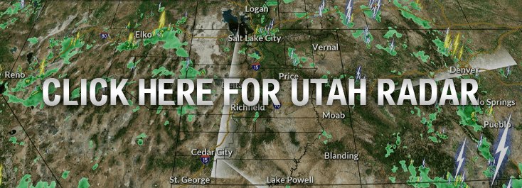
Sunday is the main event. Deeper moisture will push into Utah as a cold front moves in from the Pacific Northwest, bringing widespread rain across the state. The Weather Prediction Center has issued a "Slight" risk of flash flooding (level 2 of 4) for southern and most of central Utah, including Cedar City and St. George. The Wasatch Front, which includes Draper, falls under a "Marginal" risk (level 1 of 4).
That may sound modest. Price noted it is rare to see that level of risk covering that much of the state this far in advance, adding it "implies that there is fairly high confidence that flooding will occur and could very well expand or upgrade as we get closer."
No formal Flood Watch had been issued for Salt Lake County as of Oct. 29. The National Weather Service urged anyone with outdoor plans in southern Utah to consider alternate arrangements.
Cold front and snow
The cold front trailing the storm will drop temperatures well below average. The Wasatch Front could see highs only in the upper 40s and low 50s by Monday, Nov. 2. Snow levels may fall as low as 6,500 feet by Sunday night, low enough to bring a rain-snow mix to mountain valleys like Park City. Higher elevations above 8,000 feet could pick up 3 to 6 inches, with mountaintops potentially seeing 8 to 14 inches.
Lingering showers may continue into Monday before a ridge of high pressure builds in, bringing drier conditions.
Residents can monitor updated watches and warnings at weather.gov/slc. In a flood emergency, call 911.