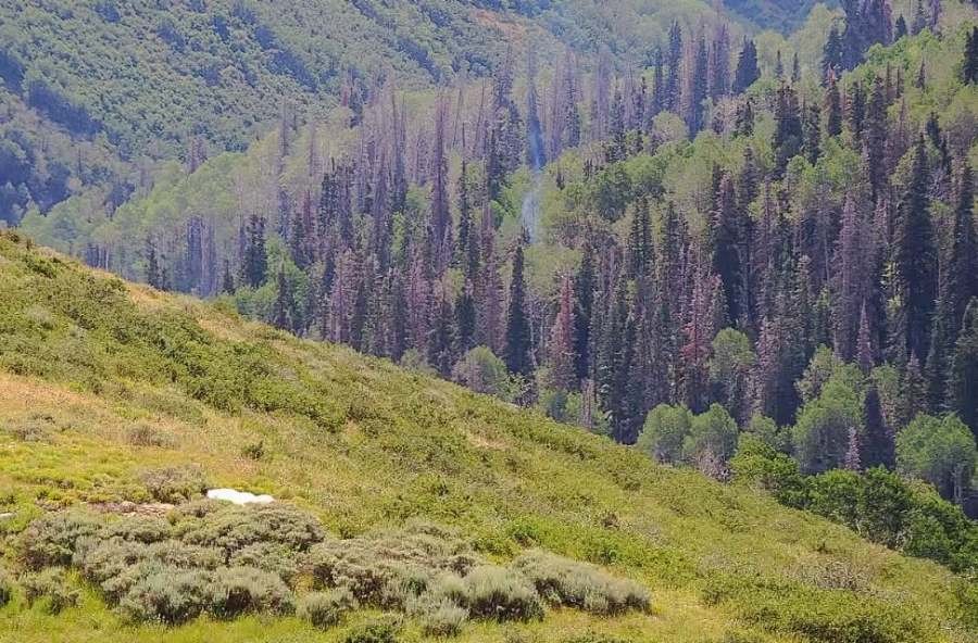
A single burning tree in a remote stretch of Summit County never produced smoke visible from the valley floor. But an AI-powered camera spotted it Friday, July 17, at 6:49 a.m., and firefighters contained the blaze to one-tenth of an acre before it could spread.
The detection came from PANO AI, a wildfire camera system with 10 stations across Utah. For Draper residents living in the Wildland Urban Interface, where neighborhoods like Suncrest sit on steep slopes surrounded by dry open space, the Lewis Peak fire illustrates the detection challenge: rugged terrain where a smoldering fire can go unnoticed for days until wind and heat turn it into something far worse.
How the Lewis Peak fire unfolded
North Summit Fire District Battalion Chief Tyler Rowser said his crews received the PANO alert about smoke east of Lewis Peak early that morning. The AI flagged possible smoke, a human reviewer at PANO's incident center confirmed it, and local authorities were notified within three minutes.
"At 2:30, 3:30 in the afternoon, there's still no visible smoke to naked eye in the valley," Rowser said. "It could have smoldered for days until we get one of those nice hot afternoons with winds to pick that fire up more, so this is a good example of catching the fire small and keeping it that way before it grew."
Firefighters rode ATVs into the rugged terrain and then hiked further to reach the single burning tree. Rowser said the early hour worked in their favor because wind and heat hadn't built up yet.
How PANO works
PANO cameras sit on towers and high woodland areas, monitoring a reliable 10-mile radius. Depending on location, the system can detect fires 30 to 100 miles away, according to Bandar Eleita, PANO AI's vice president of marketing.
Every detection goes through a human reviewer before any fire agency is contacted. Eleita said the company considers that step non-negotiable because false alarms waste firefighter resources. The company, which the company says trains its AI on more than 50 billion images, operates in 18 states, Canada, and Australia, monitoring more than 50 million acres total.
The Lewis Peak station was funded by Rocky Mountain Power, which shares access with emergency management crews and local fire departments. Eleita said the state has expressed interest in additional stations, but no funding has been committed.
Why it matters for Draper
Draper City is classified as a high-risk fire area due to surrounding open space, according to the city's fire department. Approximately 60,000 structures statewide fall within Utah's high-risk WUI boundary, including locations in Draper. Suncrest carries higher wildfire risk than the valley floor because of slope, vegetation, and proximity to open space, according to Utah's Wildfire Risk Assessment Portal.
Utah is in an extreme fire season. Governor Cox declared a state of emergency for active wildfires and imposed a statewide fireworks ban. Draper City banned personal fireworks for the July 2–5 window and was evaluating conditions ahead of the Pioneer Day holiday window starting Wednesday, July 22. The National Interagency Fire Center raised the national preparedness level to 4 out of 5 as of Wednesday, July 16, citing record-low snowpack and drought.
Draper residents in the WUI zone can check their property's wildfire risk score through Utah's Wildfire Risk Assessment Portal.



.webp)