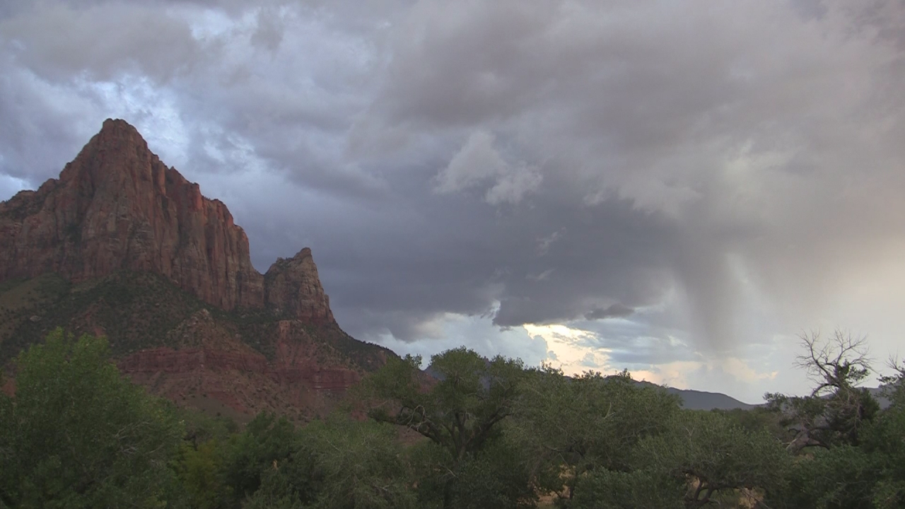
The National Weather Service issued a flood watch covering Draper and much of northern and eastern Utah on Wednesday, July 22, with the threat extending through Thursday afternoon, July 23, as monsoon moisture continues to fuel afternoon and evening thunderstorms.
Draper is among several Wasatch Front communities in the watch area, along with Sandy, South Jordan, Lehi, Bluffdale, Riverton, and Herriman, according to ABC4 meteorologist Noah Price.
The NWS warning applies to terrain like Draper's canyon open spaces along the Wasatch foothills, where steep slopes can produce rapid runoff during intense rainfall. The watch means flash flooding is possible in slot canyons, dry washes, and urban areas with poor drainage, according to the weather service.
Price reported that Thursday's storms will likely be less widespread than earlier in the week, though isolated downpours remain possible, with highs in the mid-90s across northern Utah.
Deadly context
The flood watch comes during an active and deadly monsoon season across Utah. Gov. Spencer Cox declared a state of emergency Wednesday, July 22, for Beaver, Piute, and Sevier counties after flash flooding devastated several southern Utah communities over the preceding weekend, Utah Public Radio reported.
Days earlier, on Saturday, July 18, Provo Fire Captain Spencer Long, 59, his wife Katrina, and their three sons were killed when floodwaters swept through Sunglow Canyon near Bicknell in Wayne County. The family had arrived at Sunglow Campground in Fishlake National Forest for a day of hiking and canyoneering.
David Church, a science and operations officer with the NWS in Salt Lake City, told the New York Times that the deaths were "a reminder of how rapidly weather can turn dangerous." He said thunderstorms that day originated over Thousand Lake Mountain and moved southwest toward the campground within about 30 minutes.
The same monsoon pattern that produced those fatal floods is now generating storms over the Wasatch Front.
What Draper residents should know
The NWS warns that flash floods can strike even when skies appear clear overhead. Rain falling miles away in higher terrain can funnel rapidly into canyons and washes below.
The NWS forecast shows the flood threat easing by Pioneer Day, Friday, July 24, with a ridge of high pressure building over the region and mostly dry conditions expected through the weekend.
How to stay informed
Draper residents can sign up for Notify Draper emergency alerts, including text and email notifications, at draperutah.gov. Salt Lake County Emergency Management also lists the NWS Salt Lake City weather warnings page at weather.gov/slc and the Valley Emergency Communications Center Reverse 9-1-1 system as additional resources.
Neither the Draper Fire Department nor Draper Police Department had issued public statements about the flood watch as of publication.



.webp)