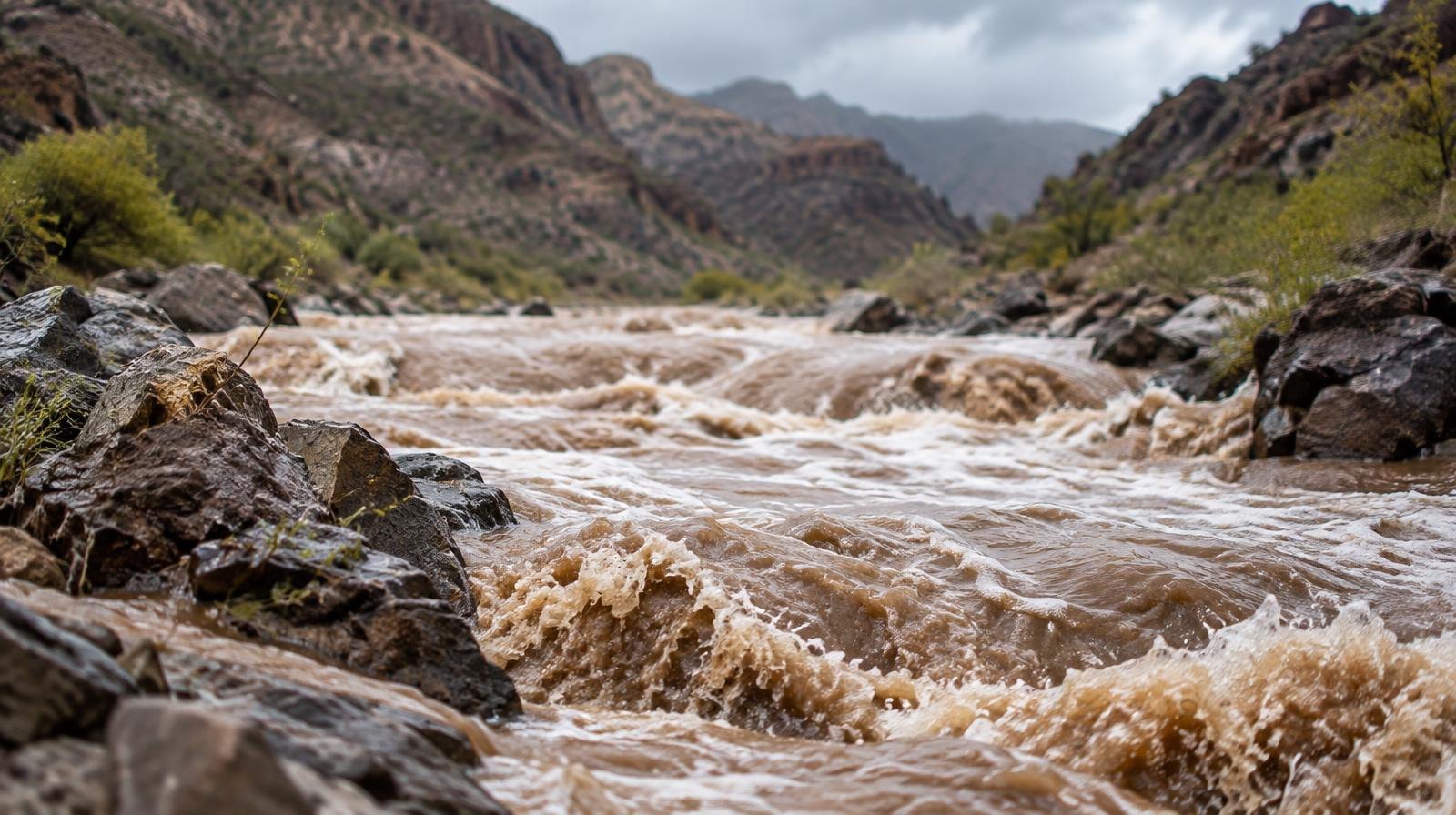
Draper and the rest of the Salt Lake Valley face a 15% chance of flash flooding starting Monday, Sept. 28, as tropical moisture from Hurricane Polo pushes into Utah.
The Weather Prediction Center (WPC) issued a Slight risk of excessive rainfall for areas along and south of Interstate 80, a zone that includes Draper. The risk means flash flooding is possible within 25 miles of any point in the highlighted area, according to ABC4 Utah meteorologist Noah Price.
"This is an impressive surge of moisture we'll be seeing which will produce some heavy rainfall totals and the likelihood for flash flooding," Price said.
An upper-level low digging across California and the Great Basin is steering Polo's moisture northward, where it will collide with a cold front late Sunday night through Tuesday, Sept. 29. NWS Salt Lake City said on Sunday, Sept. 27 that the combination will produce heavy, widespread rain and increase flash flood risk across central and southern Utah.
Burn scars, normally dry washes and slot canyons are the most vulnerable areas, the agency said.
What Draper residents can expect
Northern Utah, including the Wasatch Front, could receive about a quarter-inch of rain or less from the system, KUTV reported. Southern Utah faces far heavier totals, with some areas expected to get more than an inch.
The WPC also placed southern Utah under a Moderate risk, a Level 3 of 4 designation carrying a 40% chance of flash flooding. Price described that rating as the first time the WPC had ever issued a Day 3 Moderate risk for the area.
Temperatures will drop with the front. Highs across the state are expected to fall into the 60s and 70s on Monday and Tuesday.
Where the storm comes from
Hurricane Polo, churning off Mexico's Pacific coast with sustained winds of 175 mph as of Saturday, Sept. 26, is the engine behind the moisture surge. National Hurricane Center Director Michael Brennan said some of Polo's moisture could possibly reach the southwestern U.S. by Monday, producing scattered flash flooding in the Four Corners region, as first reported by the Associated Press.
A second storm, Hurricane Odalys, is also contributing moisture to the system.
Timeline and what comes next
Showers and thunderstorms are forecast to develop from south to north starting Sunday afternoon in southern Utah, spreading to the Wasatch Front by Sunday night and becoming widespread Monday. The threat is real. Rain and storms will continue into Tuesday before moisture begins to dissipate Tuesday evening.
Drier conditions and high pressure are expected to return by Wednesday, Sept. 30, with temperatures warming back toward the 70s and 80s by Friday, Oct. 2.
The American Red Cross of Utah recommends residents sign up for local emergency alerts and download the free Red Cross Emergency app for weather alerts, shelter locations and preparedness information.